Geography Paper 1 Annexure - Grade 12 June 2021 Exemplars
Share via Whatsapp Join our WhatsApp Group Join our Telegram GroupANNEXURE
FIGURE 1.1: TROPICAL CYCLONES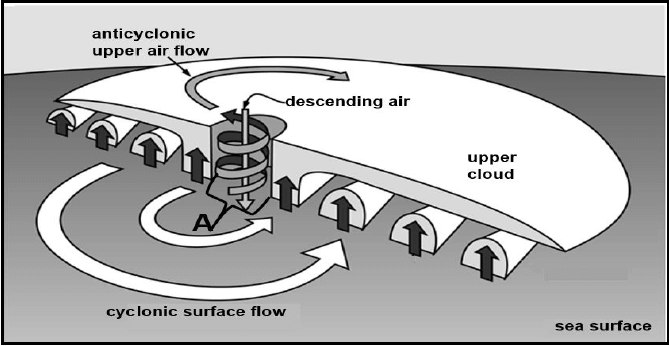
[Source: https://www.google.com/search?q=tropical+cyclone]
FIGURE 1.2: URBAN HEART ISLAND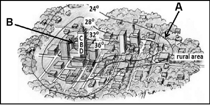
[Source: GSCE Examination series]
FIGURE 1.3: SYNOPTIC WEATHER MAP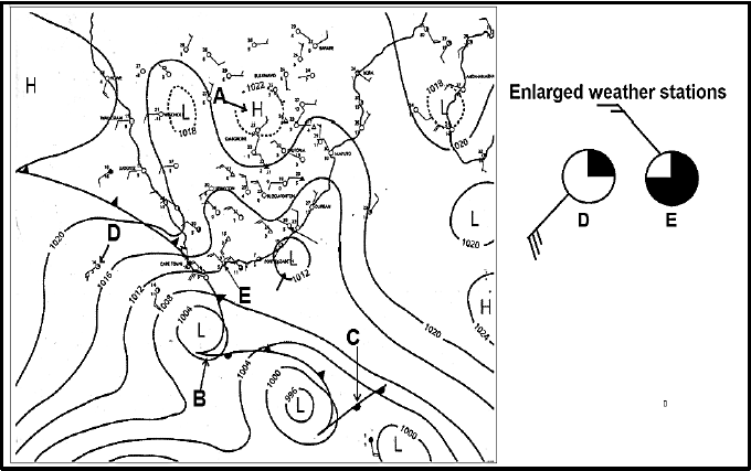
[Adapted from SA weather services
FIGURE 1.4: MOISTURE FRONT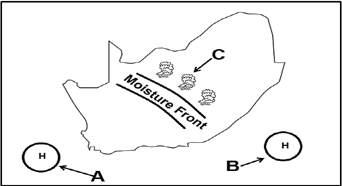
[Source: Examiners own sketch]
FIGURE 2.1: DRAINAGE BASIN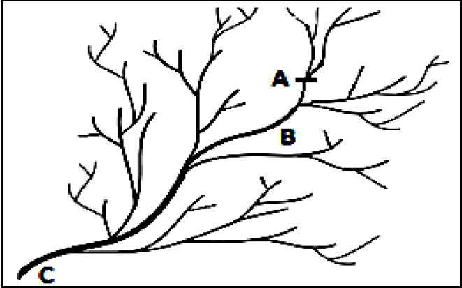
[Source: sageography.myschoolstuff.co.za]
FIGURE 2.2: LAMINAR AND TURBULENT FLOW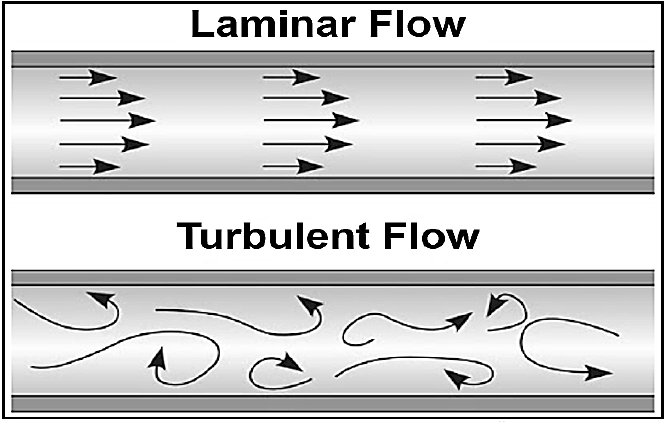
[Source: http://www.Google images]
FIGURE 2.3: RIVER CAPTURE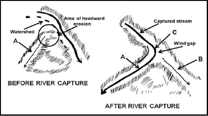
[Adapted from https://www.google.com/search?q=river+capture]
FIGURE 2.4: TYPE OF RIVER
[Adapted from http://www.google search.co.za]
FIGURE 3.3: RURAL SETTLEMENT PATTERN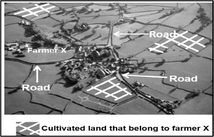
[Adapted from https://www.google.co.za/search?q=Settlement+patterns&source]
FIGURE 3.4: URBAN EXPANSION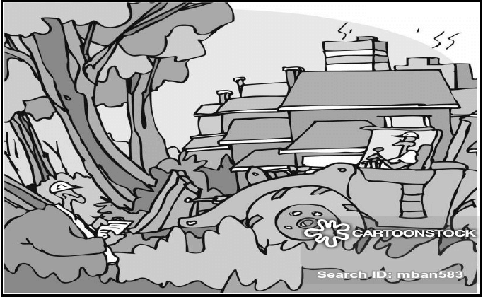
[Source: https://www.google.com/cartoon+on+urban+expansion]
GENERAL INFORMATION ON CALEDON
Caledon has a mediterranean climate of warm, dry summers and cool, wet winters. Temperatures are modified by its close proximity to the South Atlantic Ocean, just over the Klein River Mountains to the south.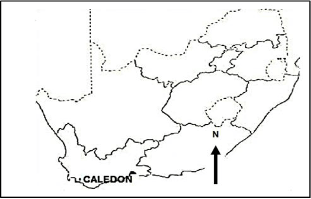
[Source: Examiner’s own extract]